 Image 1 of 1
More Info:
Image Dimensions: 8500 x 5119 px
Location: Torrey Utah
Note: This image is exclusive to this site. © 2025 Ray Redstone
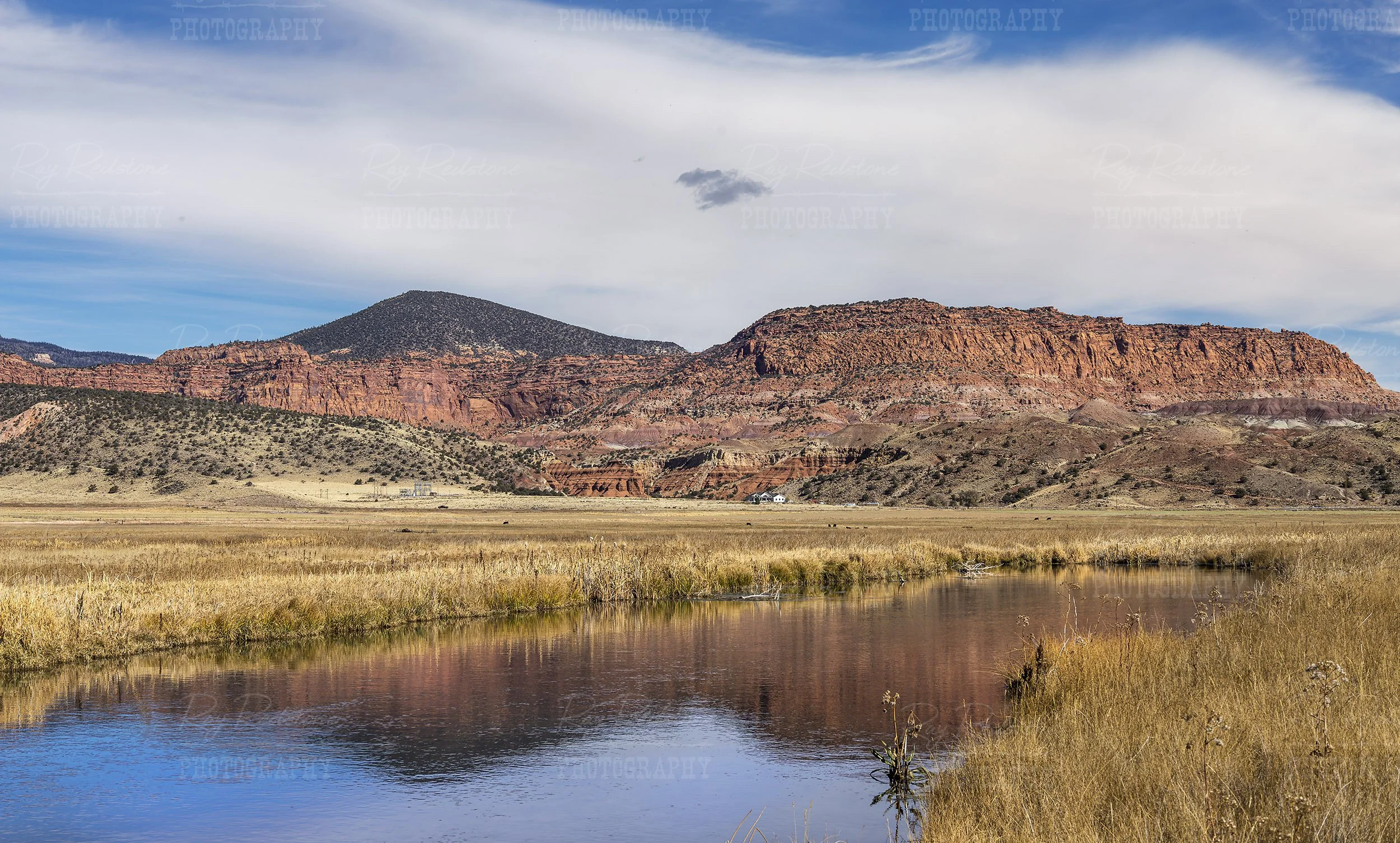
Captured while fly-fishing, this image features a stunning red rock reflection on the Fremont river outside of the town of Torrey, Utah.
Fremont River — Torrey, Utah
The Fremont River originates in the high country of the Fishlake Plateau and flows southeast through Capitol Reef National Park before reaching the Green River. Near Torrey, Utah, the river runs through a narrow canyon and irrigated valley, supporting riparian vegetation, cottonwoods, and agricultural fields. It is fed primarily by snowmelt and springs, producing seasonal flows that peak in late spring and early summer.
Key points:
Location: Flows through Torrey and Capitol Reef National Park in south-central Utah.
Source: Fishlake Plateau (snowmelt and springs).
Uses: Irrigation for local farms and orchards, wildlife habitat, scenic river corridor for visitors.
Recreation: Scenic viewing, photography, light wading; some upstream areas offer hiking and access to canyons.
Ecology: Supports riparian vegetation and local wildlife; flow varies seasonally and can be low late in summer and fall.
Visiting tips:
Best flows and green scenery: late spring to early summer.
Respect private irrigation infrastructure and posted signs near farms.
Leave no trace when exploring riverbanks and nearby trails.
More Info:
Image Dimensions: 8500 x 5119 px
Location: Torrey Utah
Note: This image is exclusive to this site. © 2025 Ray Redstone